01
Map property context
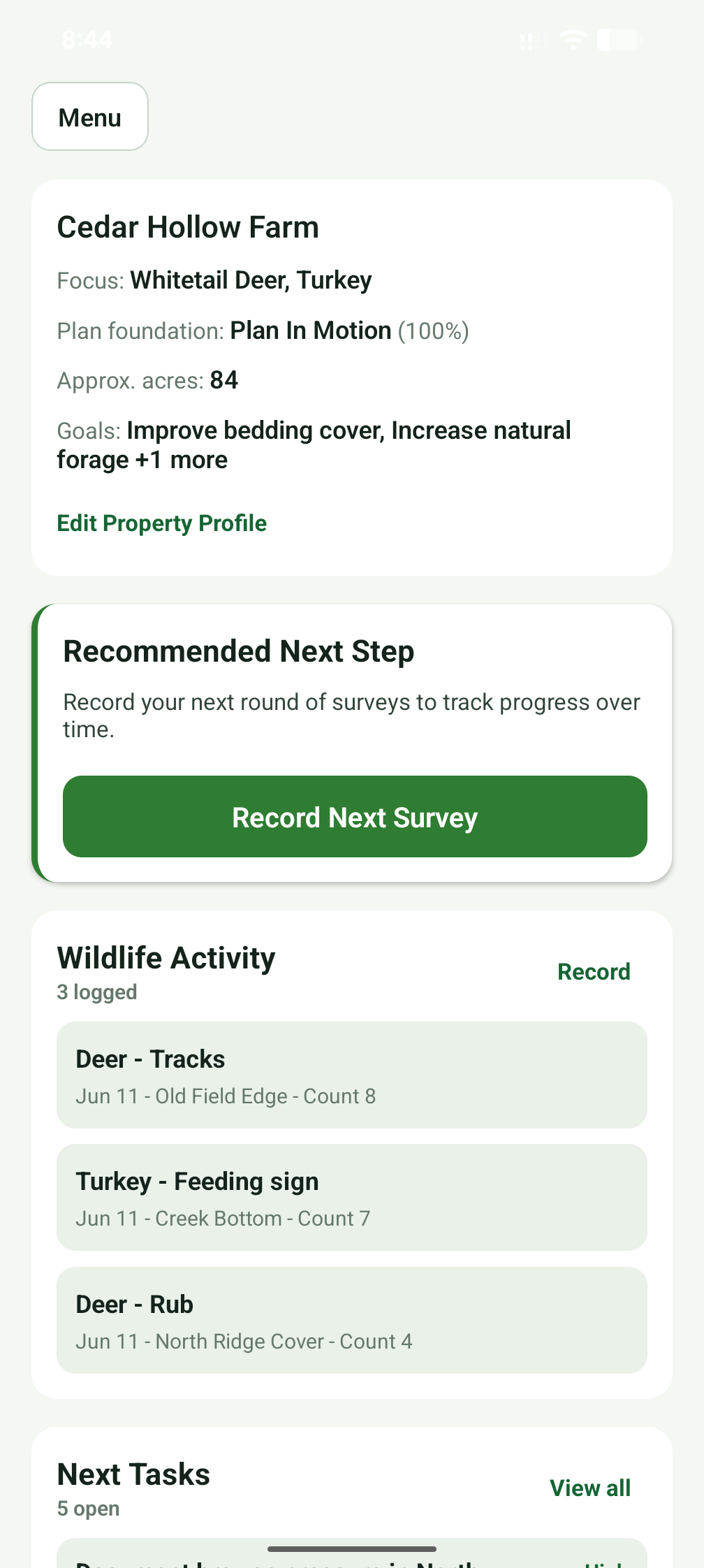
Create property profiles, draw boundaries, switch map layers, and divide land into management zones.
Phase 1 Android beta testing
From field notes to a living land plan. HuntHaven helps landowners and hunters organize property details, map habitat zones, log wildlife activity, and plan practical habitat work.
The beta focuses on whitetail deer habitat while building toward broader wildlife and property management planning.
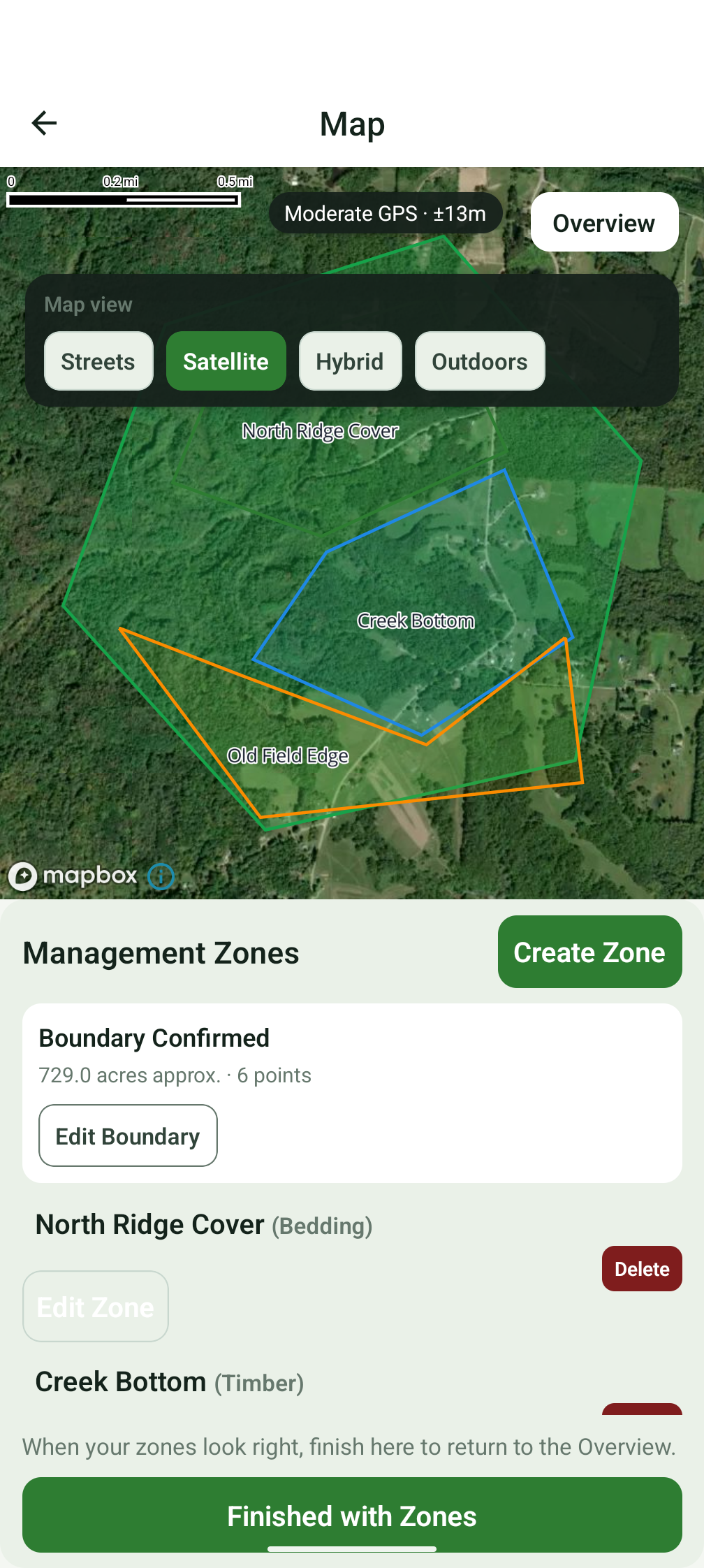
Create property profiles, draw boundaries, switch map layers, and divide land into management zones.
Save habitat notes, browse surveys, wildlife observations, harvest notes, and optional field photos.
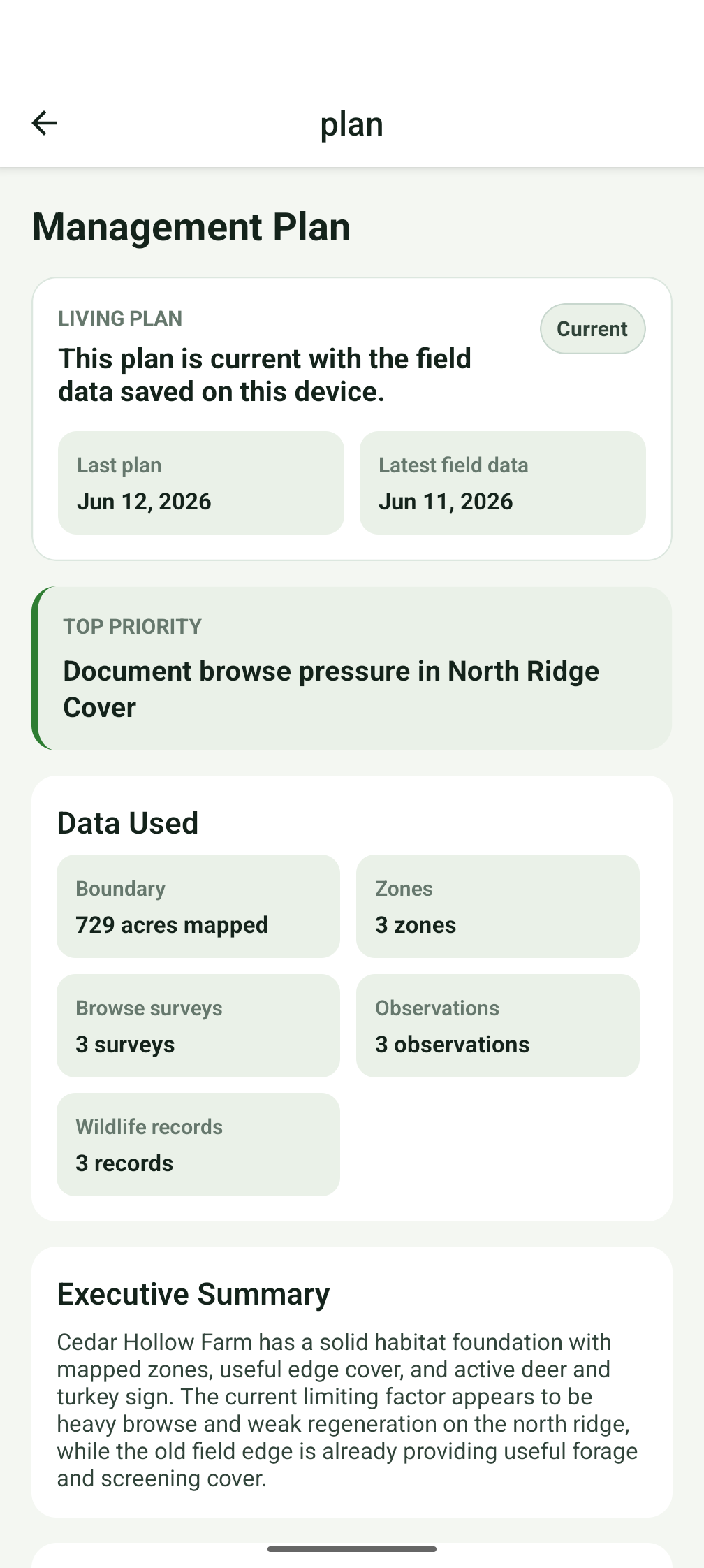
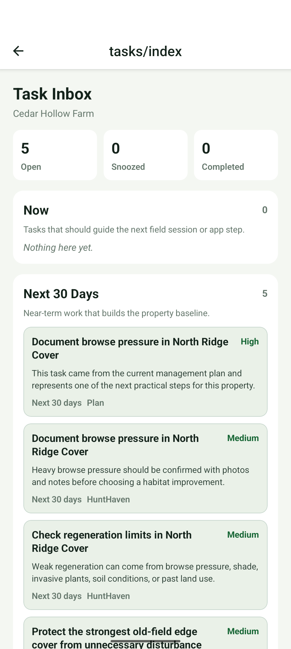
Turn saved property data into local guidance, recommended tasks, and an evolving management plan.
Screens from the current HuntHaven beta show the actual field workflow: property context, mapping, observations, tasks, and a living plan.
Map and zones
Satellite and outdoor map views help connect field notes to the places where management decisions happen.
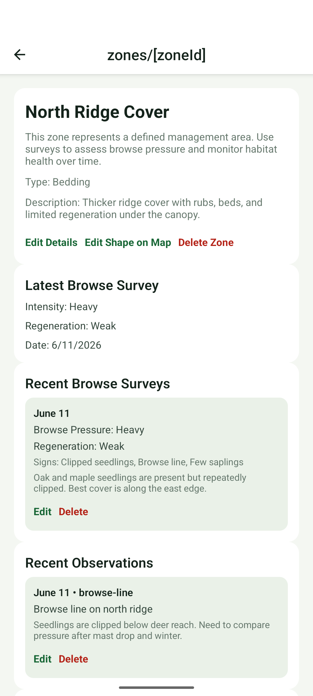
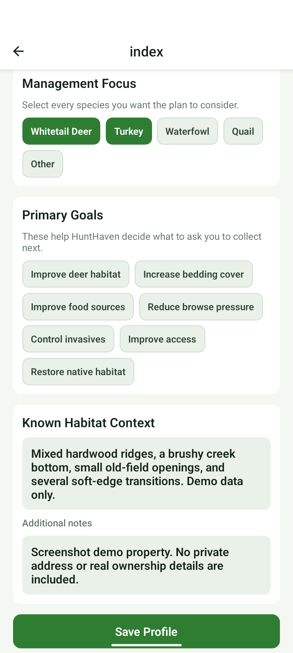
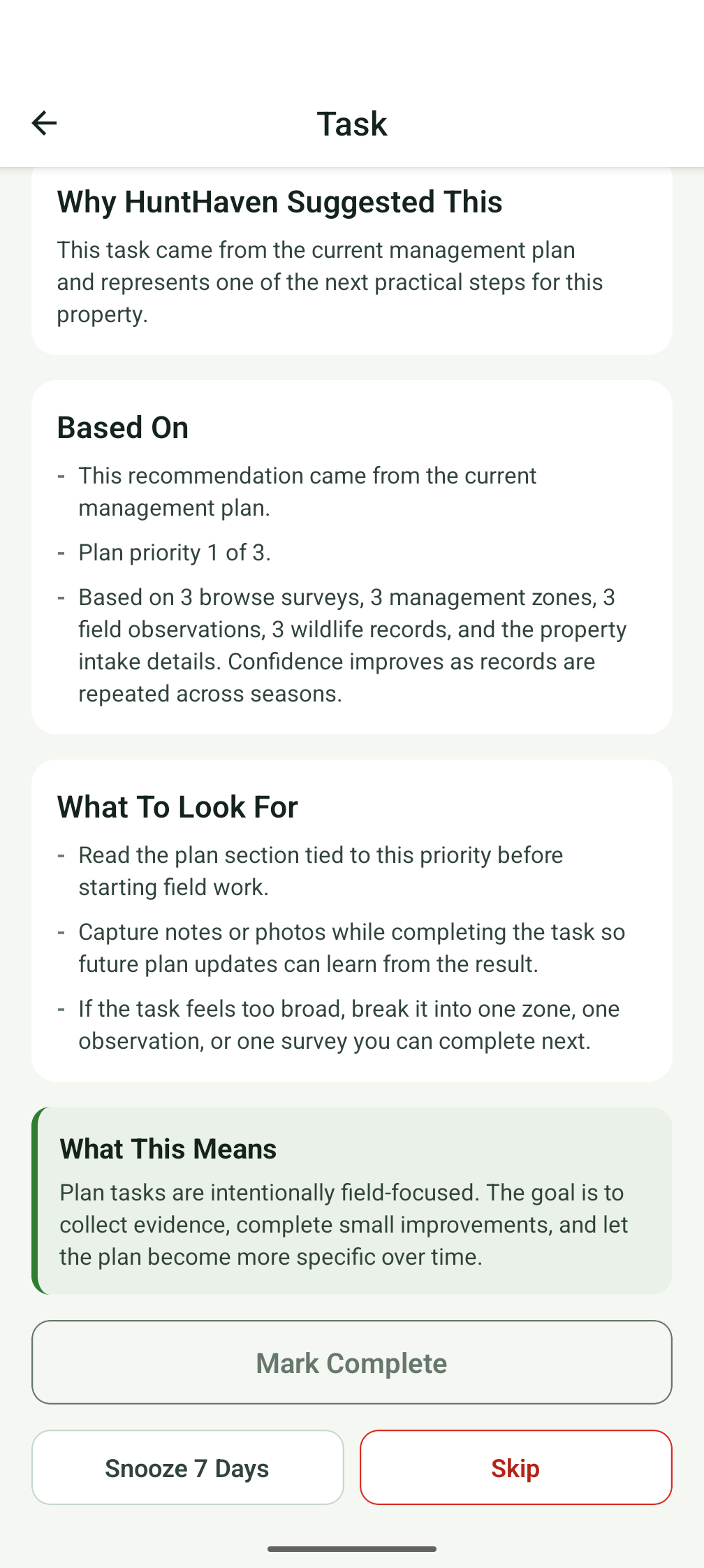
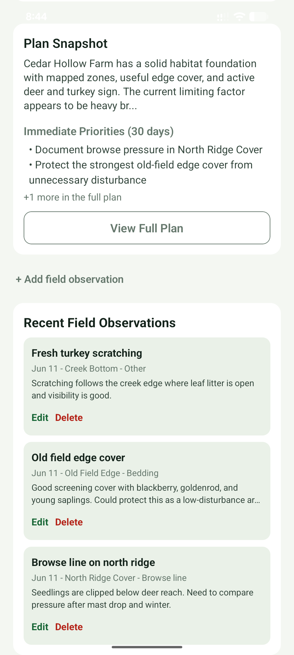
HuntHaven is designed to feel like a calm land consultant, not a generic map tool.
Step 1
Add acreage, location, species focus, goals, and notes.
Step 2
Draw boundaries and split habitat into practical work areas.
Step 3
Capture field signs, wildlife activity, photos, and surveys.
Step 4
Use tasks and plan notes to decide what to inspect next.
Phase 1 testing focuses on installation, navigation, visual clarity, core workflows, permissions, and local data persistence. Land-management experience is not required.